
Dakota County Sources for Checking Nearby Parcels
The public record can describe parcels around an address, not every household around it. County GIS establishes adjacent parcel geometry, roads, districts, and map-layer context. A property card then supplies owner, mailing, tax, and building fields for a selected parcel. RecordEASE can identify recorded parties and instruments. Historical directories and newspapers may add dated associations. Each source answers a different part of a Dakota County neighbors question.
| Block source | What it actually shows | Access path |
|---|---|---|
| County GIS | Touching parcels, layers, roads, and districts | Interactive map and parcel selection |
| Property card | Owner, mailing, tax, and building context | Address or Parcel ID search |
| Recorded-land index | Parties, legal description, and instrument dates | RecordEASE account or fee path |
| Voter-list product | Statutorily limited public fields | Request, certification, and allowed use |
| Community directory | Organization boundary or contact context | City-specific source, not a household roster |
An owner of record may not live on a parcel, and a tax mailing address may be elsewhere. A civic group can describe a recognized boundary without proving membership at each address. Dakota County neighbors research stays accurate when it calls a result an owner, recorded party, adjacent parcel, or civic contact, rather than assuming that role describes every person next door.
Dakota County GIS Separates Parcels From Households
The county’s online property maps provide parcel, aerial, contour, road, park and trail, floodplain, district, and other layers. The map catalog accepts address, Parcel ID, city, section, or USNG concepts. After selecting the subject parcel, record its Parcel ID and each parcel that physically touches it, then open each property card separately. County map layers have different dates, so save the layer name and source date beside a finding.
Visit Dakota County Online Property Maps to begin the adjacent-parcel search.
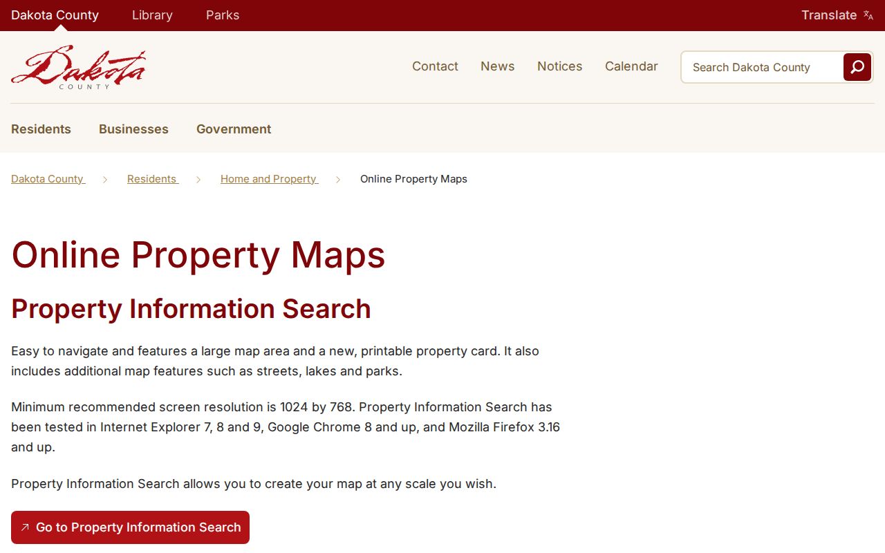
The GIS view is a geography tool. It supports a careful parcel walk, but its boundary lines do not create a resident list.
Dakota County Neighborhood Boundaries Are Not One Thing
A parcel boundary, subdivision, postal ZIP, city limit, school district, election area, and recognized neighborhood can overlap without matching. The county’s ZIP map is a postal reference and not a legal survey. A property card identifies a municipality, while the GIS can show map layers and adjacent parcels. For a city-defined neighborhood, use that city’s recognition or association source and retain the boundary date and statement of what the map represents.
That distinction matters in Dakota County because some city and township names overlap, including Hampton, Randolph, and Vermillion. Preserve the jurisdiction field instead of reducing a result to a city label. The same care is needed when a postal city differs from the municipality on the parcel card.
Historical Dakota County Neighbor Clues Need a Date
An older block can be difficult to reconcile with a present map. Dakota County was founded in 1849, and its county seat moved from Kaposia in 1853 to Mendota in 1854 and Hastings in 1857. The original county was larger than the modern county. A historical result may therefore use a former jurisdiction, a township name, a rural route, or the spelling “Decota.” Preserve that display wording and test it as a search variant rather than forcing a modern city label onto it.
The 1916 Dakota County Atlas and Farm Directory is especially useful for rural land because township plats carry owners’ names. MNHS telephone-directory holdings begin in 1928, but exact city and year availability must be checked item by item. DCHS materials, local newspapers, and the reported 1920s Hastings Sanborn maps can provide dated address context. They are not a substitute for an adjacent parcel boundary in the current GIS.
For an old Dakota County neighbor lead, pair a directory, atlas, or newspaper reference with a parcel, legal description, permit, deed, or map edition from the same period. That two-source approach distinguishes a historical address association from a current claim about the people on a block.
Minnesota Voter Rules Limit Dakota County Block Data
Minn. Stat. §201.091 describes public voter-list fields and limits their use. The public information list can include name, address, year of birth, voting history, phone if supplied, and district information. It excludes full dates of birth and listed government identification numbers. A public-list order is not anonymous browsing: the requester certifies eligibility and permitted use, chooses a geography and product, pays the required charge, and receives the stated delivery route.
The live registration lookup is even narrower because it needs an exact name, full date of birth, and address path. A safety withholding request can remove or alter an otherwise expected address. Never use a no-match to infer that a Dakota County neighbor is unregistered or absent from a block.
Note: The restricted voter-list route cannot be converted into an unrestricted address-by-address neighborhood roster.
Burnsville Organizations Offer a Dakota County Civic Model
There is no official countywide neighborhood-association registry in the research. Burnsville is a useful city-specific model because its neighborhood-organization directory describes group missions, boundaries, and contacts. The city says such groups can include residents, businesses, churches, and schools. Its stated recognition approach uses boundaries, a named organization, and a contact route, rather than a claim that every address in the area is a member.
Open the Burnsville neighborhood organizations directory when the address is in that city and keep the city-specific scope clear.
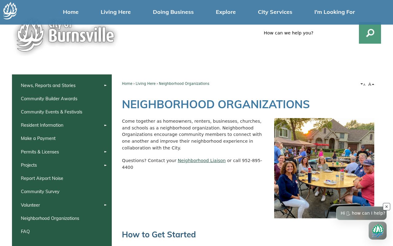
The directory is a lead to a civic boundary and contact, not proof of a person’s residence or organization membership.
| Burnsville directory | Organization mission, boundary, and public contact context |
|---|---|
| Recognition information | Neighborhood name, proposed boundary, contact, and date |
| Countywide coverage | Not located in an official source |
Mapping a Dakota County Block Through Parcel Records
For a block-level question, keep the record trail short and repeatable. Start from the address, not a person’s name. The county Property Information Search gives a Parcel ID, municipality, tax description, and property context. The GIS map then shows adjoining geometry. Only after identifying a specific parcel should you open its property record or research its recorded-document trail. This prevents a similar street name, postal-city mismatch, or nearby subdivision from becoming a false neighbor match.
- Search the subject address in the property system and preserve the matching Parcel ID, municipality, and situs address.
- Open the same place in the county GIS and note only parcels that touch the selected parcel boundary.
- Run each adjoining Parcel ID through the property search and label owner, mailing address, and parcel context separately.
- Use the legal description in RecordEASE only when an adjacent parcel needs a recorded-instrument history.
- For the fuller named-street chain, use the dedicated Dakota County street directory workflow.
A tax mailing address is not proof of owner occupancy, and a permit applicant or contractor is not automatically an occupant. The parcel process is strongest for identifying physical adjacency and recorded property relationships.
Dakota County Neighbor Sources Need Different Weights
Official maps and property records state their relationship to a block. Commercial neighbor-lookup categories can combine public indexes, address associations, marketing data, and purchased datasets, so their freshness and method are not uniform. Use the official source for the precise question, and retain an archival or civic source only for the context it actually documents.
| Source type | Useful for | Important limit |
|---|---|---|
| County GIS and property card | Parcel geometry and owner-of-record context | Not a household or renter roster |
| Recorded documents | Recorded parties and land instruments | Needs legal-description and date checks |
| Historical directory or newspaper | Dated household or address lead | Years and coverage vary |
| Commercial compiled category | Possible research lead | May be stale or misjoined; not an official record |
When two records disagree, save both display details and seek clarification from the proper custodian. Do not pick the more convenient result.
Privacy Boundaries for Dakota County Neighbors
Property and map results do not identify private renters, every household member, utility customers, or DMV address information. Protected voters can use safety withholding, and Minnesota Safe at Home participants may use a substitute address and mail-forwarding arrangement. Those limits are purposeful. A missing or mismatched public address can reflect the source’s privacy design, a different record relationship, or ordinary timing rather than an error to reverse-engineer.
Records about a block should also avoid overstatement. A complaint, court event, registry entry, or permit role is not a shorthand for a person’s character, guilt, ownership, or current residence. Preserve the source, date, role, and access boundary. For a historical neighbor lead, connect a dated directory or newspaper result to a separate parcel or land record before treating it as a household connection.
The same restraint applies to a person who appears in an association contact block or a meeting agenda. Keep the public role, source date, and organization context intact. Do not turn a civic contact, a nearby parcel, or an old address mention into an unstated claim about present-day Dakota County neighbors.
When a block question cannot be answered from an open map or record, stop with the documented boundary. Dakota County staff, a city clerk, library staff, or an archive may explain the proper request or collection route, but they cannot release private information merely to resolve a neighbor question. A precise, date-bounded request is better than expanding a name search across unrelated sources.
Lawful use. Dakota County neighbor research can support personal property history, civic curiosity, and reconnecting. Never use a map, record, or directory result to watch, harass, intimidate, or harm anyone.