
Dakota County ZIP Code Directory Coverage
The county ZIP map identifies 23 codes serving Dakota County. Its labels provide area and postal leads, not a legal survey or a complete carrier assignment. The table keeps the county’s documented leads separate from facts the research did not locate. For the codes with no verified exact area or post office, the appropriate next step is the county map followed by a USPS address lookup. A municipal name beside a code may be a practical starting point, but an exact delivery address controls the postal result.
| ZIP | Areas Covered | Post Office | Notes |
|---|---|---|---|
| 55009 | County-map code; exact Dakota County area not located | Not located in the official research | Confirm the exact address with the county map and USPS |
| 55024 | Farmington lead | Farmington Post Office | USPS must confirm the exact delivery address |
| 55031 | County-map code | Not located in the official research | Exact area and post office require USPS verification |
| 55033 | Hastings lead | Hastings Post Office | USPS must confirm the exact delivery address |
| 55044 | Lakeville lead | Not located in the official research | Verify the exact delivery address with USPS |
| 55057 | County-map code | Not located in the official research | Exact area and post office require USPS verification |
| 55065 | Randolph lead | Randolph Post Office | USPS must confirm the exact delivery address |
| 55068 | Rosemount lead | Not located in the official research | Verify the exact delivery address with USPS |
| 55075 | South St. Paul lead | Not located in the official research | Verify the exact delivery address with USPS |
| 55076 | Inver Grove Heights lead | Not located in the official research | Verify the exact delivery address with USPS |
| 55077 | County-map code; exact Dakota County area not located | Not located in the official research | Verify the exact delivery address with USPS |
| 55085 | County-map code; exact Dakota County area not located | Not located in the official research | Exact area and post office require USPS verification |
| 55089 | County-map code; exact Dakota County area not located | Not located in the official research | Confirm the exact address with the county map and USPS |
| 55107 | County-map code; exact Dakota County area not located | Not located in the official research | Exact area and post office require USPS verification |
| 55118 | West St. Paul and Mendota Heights lead | Not located in the official research | USPS must confirm the exact delivery address |
| 55120 | Mendota Heights lead | Not located in the official research | USPS must confirm the exact delivery address |
| 55121 | Eagan lead | Not located in the official research | USPS must confirm the exact delivery address |
| 55122 | Eagan lead | Not located in the official research | USPS must confirm the exact delivery address |
| 55123 | Eagan lead | Not located in the official research | USPS must confirm the exact delivery address |
| 55124 | Apple Valley lead | Apple Valley Post Office | Post-office address is not the addressee’s municipality |
| 55150 | County-map code; exact Dakota County area not located | Not located in the official research | Verify the exact delivery address with USPS |
| 55337 | Burnsville lead | Not located in the official research | Verify the exact delivery address with USPS |
| 55306 | Burnsville and Apple Valley lead | Not located in the official research | USPS must confirm the exact delivery address |
A single city can use more than one postal code, and one ZIP can serve more than one municipality. Keep the postal city, municipal jurisdiction, parcel situs, and ZIP as separate fields when recording an address. That practice avoids treating a map label as a finding about a household or a city boundary.
Dakota County ZIP Code Map Reading
The Dakota County ZIP map is the local starting display for the complete 23-code list. It labels city and township context, but it does not establish a legal boundary. Use it to identify a candidate postal area, then record what kind of geography the next source supplies. County mapping also offers neighborhood maps, street map books, street maps, historical maps, and custom printing, so the relevant map depends on whether the question is postal delivery, a parcel, a named street, or historical address context.
The official county ZIP map shows the code labels and local geographic context used as the first verification step.
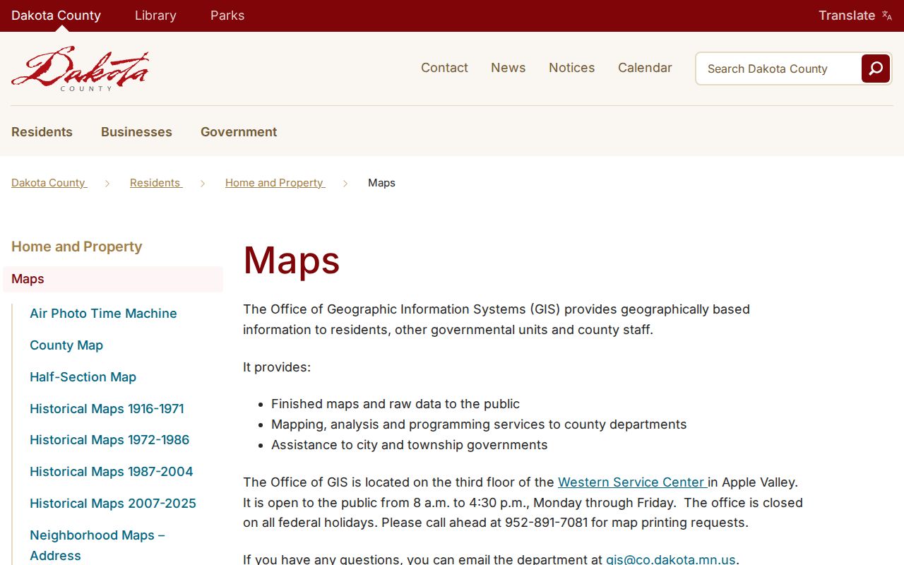
Read the map as a candidate area. When a property or mailing record sits near a municipal edge, compare the exact postal result with the parcel’s municipality instead of assuming the ZIP label settles the issue.
Dakota County ZIP Code USPS Checks
USPS ZIP Lookup accepts an address or a city-and-state-to-ZIP search. It is the official route for confirming the postal city and code for a particular delivery address after the county map supplies a lead. It cannot define a neighborhood, school district, legal city limit, or county boundary. The research did not locate a complete authoritative Dakota County table for post-office stations, carrier assignments, ZIP splits, or code-level statistics, so those details should not be inferred from the map.
The official USPS ZIP lookup provides the address and city-state entry routes needed for exact postal confirmation.
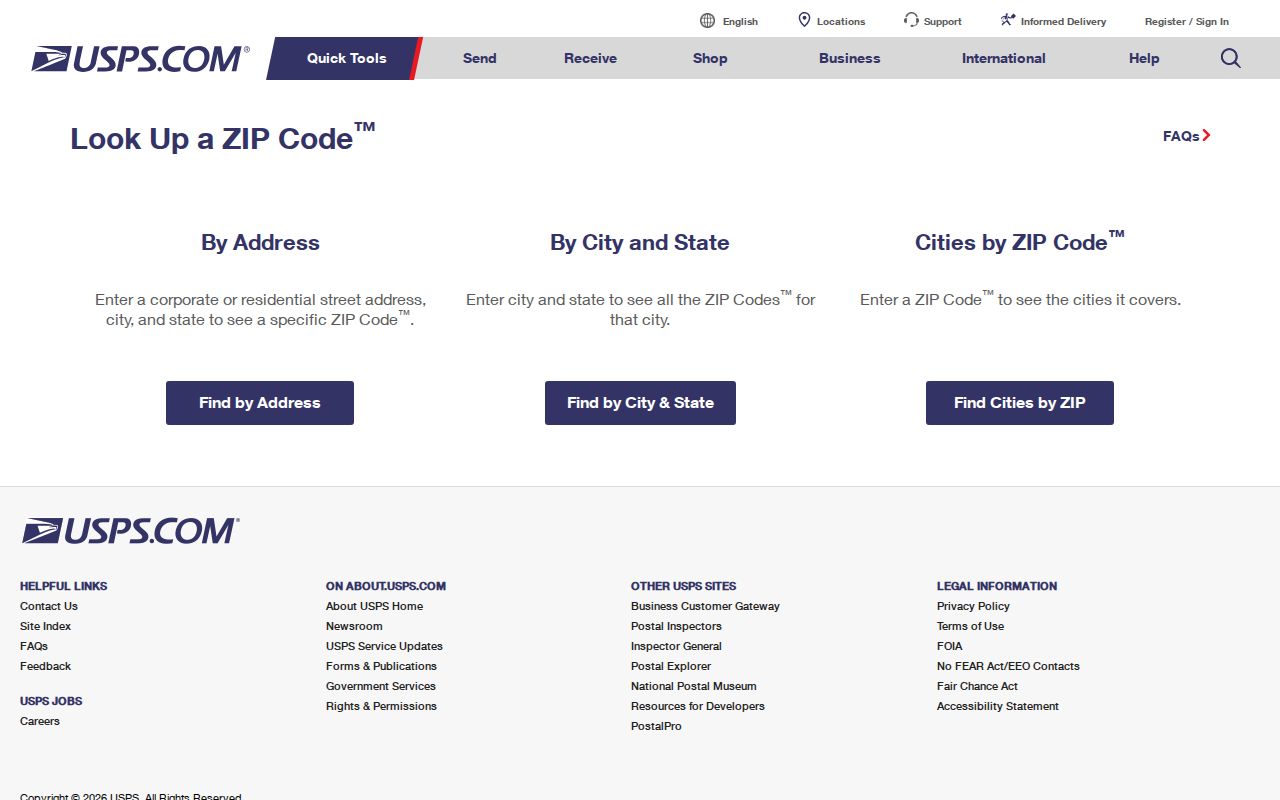
A postal answer can correct a city or ZIP entry, but it remains a delivery answer. Use county GIS, parcel data, or a city source when the question concerns a municipal, parcel, or neighborhood boundary.
Dakota County ZIP Code Search Steps
A ZIP can narrow a search, but Dakota County does not provide a public ZIP-wide resident roster. The county property interface is built for address or Parcel ID, not for listing people by ZIP. The voter lookup may take a ZIP or county route as part of an exact person-and-address confirmation, while the GIS catalog uses geographic and parcel search paths. Use each route for what it can establish, then hand a narrowed address to the records office or municipal source that keeps the relevant file.
- Locate the candidate code on the county ZIP map and keep the result marked as a county-map lead.
- Enter the complete delivery address into USPS ZIP Lookup, or use city and state when only a postal lead is known.
- For parcel context, search the Dakota County Property Information Search by address or Parcel ID. Its card reports an owner and mailing address, not occupants or a ZIP-wide list.
- Use Minnesota Find My Registration only when the exact first name, last name, full date of birth, city or township, house number, street, and ZIP or county path are available. The result confirms registration after the portal’s checks.
- Use the county map catalog to compare a selected parcel with city, section, USNG, road, and other map context. For a named street after the code is confirmed, use the Dakota County street directory for the address-focused record trail.
Record the source-specific date and output. USPS supplies delivery geography, the property card supplies parcel and owner context, the registration tool supplies a current match after exact inputs, and GIS supplies selected-map context. None alone proves every person associated with a ZIP.
Dakota County ZIP Code Portal Fields
The ZIP-capable tools use different fields because they serve different records. The postal tool finds a delivery result. The property tool locates one parcel. The registration tool checks one exact person and address. The GIS catalog is a map entry point. Matching the field to the purpose helps prevent a ZIP from being used as an identity shortcut.
| Portal | Documented fields or entry path | What the ZIP path can and cannot do |
|---|---|---|
| USPS ZIP Lookup | Address, or city and state to ZIP | Confirms a postal result for an address or place query; it does not define a legal boundary |
| County Property Information Search | Address or Parcel ID; partial or full address; matching-result selection | Finds a parcel card and its owner, mailing, tax, building, and plat context; no public ZIP-wide resident search |
| Minnesota Find My Registration | First and last name, full DOB, city or township, house number, street, ZIP or county, and optional unit | Confirms a registration match. The tool is updated nightly and a new application can take up to 14 days to process |
| Dakota County GIS map catalog | Address, Parcel ID, city, section, or USNG | Provides map and parcel context; layer dates vary and it is not a people directory |
Under Minn. Stat. §201.091, public voter-list products are purpose-limited. Their use is not a substitute for the live registration confirmation, and full dates of birth and identity numbers are excluded from public-list fields. A safety withholding can also make a public address unavailable or different.
Dakota County ZIP Code Address Terms
Postal wording and land-record wording describe separate pieces of an address. A property card may show a situs address for the physical parcel and a mailing address for tax correspondence. RecordEASE works with instrument parties and legal descriptions. USPS works with delivery addressing. Keeping those fields apart is especially helpful when a named place changes between the postal result and a county map.
- ZIP code
- A postal delivery geography. It does not prove a city limit, legal neighborhood, school district, or county residence.
- ZIP+4
- Added postal delivery detail that should be confirmed against the exact USPS address result, not used as a municipal boundary.
- PO-box ZIP
- A post-office-box delivery designation. The research did not locate a complete Dakota County PO-box-code table, so do not infer one.
- Carrier route
- A delivery-route distinction. Exact Dakota County carrier assignments were not located in the official research.
Dakota County ZIP Code History Checks
A modern postal result can be a poor fit for an older address. The county maps menu groups historical map material for 1916-1971, 1972-1986, 1987-2004, and 2007-2025. Pair those map sets with the MNHS Dakota County telephone-directory finding aid and the 1916 Dakota County Atlas and Farm Directory when tracing a historical address. Former rural routes, township names, county-seat changes, and spelling variants can explain a present-day no-match.
The 1916 atlas preserves rural owner names on township plats, while the MNHS telephone-directory finding aid begins in 1928 and requires a city-and-year check for an item. These sources can establish an older location lead, but neither converts a historical household association into a current postal or residence claim. Note the map period, directory year, original name, and source context.
Note: For a disputed older address, compare the responsible city’s planning records, historic maps, the parcel legal description, directories, and USPS normalization.
Dakota County ZIP Code Boundary Limits
ZIP codes are delivery routes, not standard Census geographies. A postal city can differ from the municipality that holds the parcel record. The research gives a practical local example: a St. Paul postal address can appear on an Apple Valley-area USPS result, while a county parcel or municipal record uses a different city. Present each label as the source supplies it, rather than forcing a single place name onto every record.
Postal mismatch. A Dakota County ZIP result is a delivery fact, not proof of a neighborhood, city boundary, ownership, or current residence. Confirm the needed geography with USPS, county GIS, and the responsible municipal source.
The county map itself states the boundary limitation through its role as a ZIP display. For records research, keep a separate field for postal city, municipality, parcel situs, and the source date. This protects against false matches when a person, property, or historical record shares a ZIP but not the same jurisdiction.